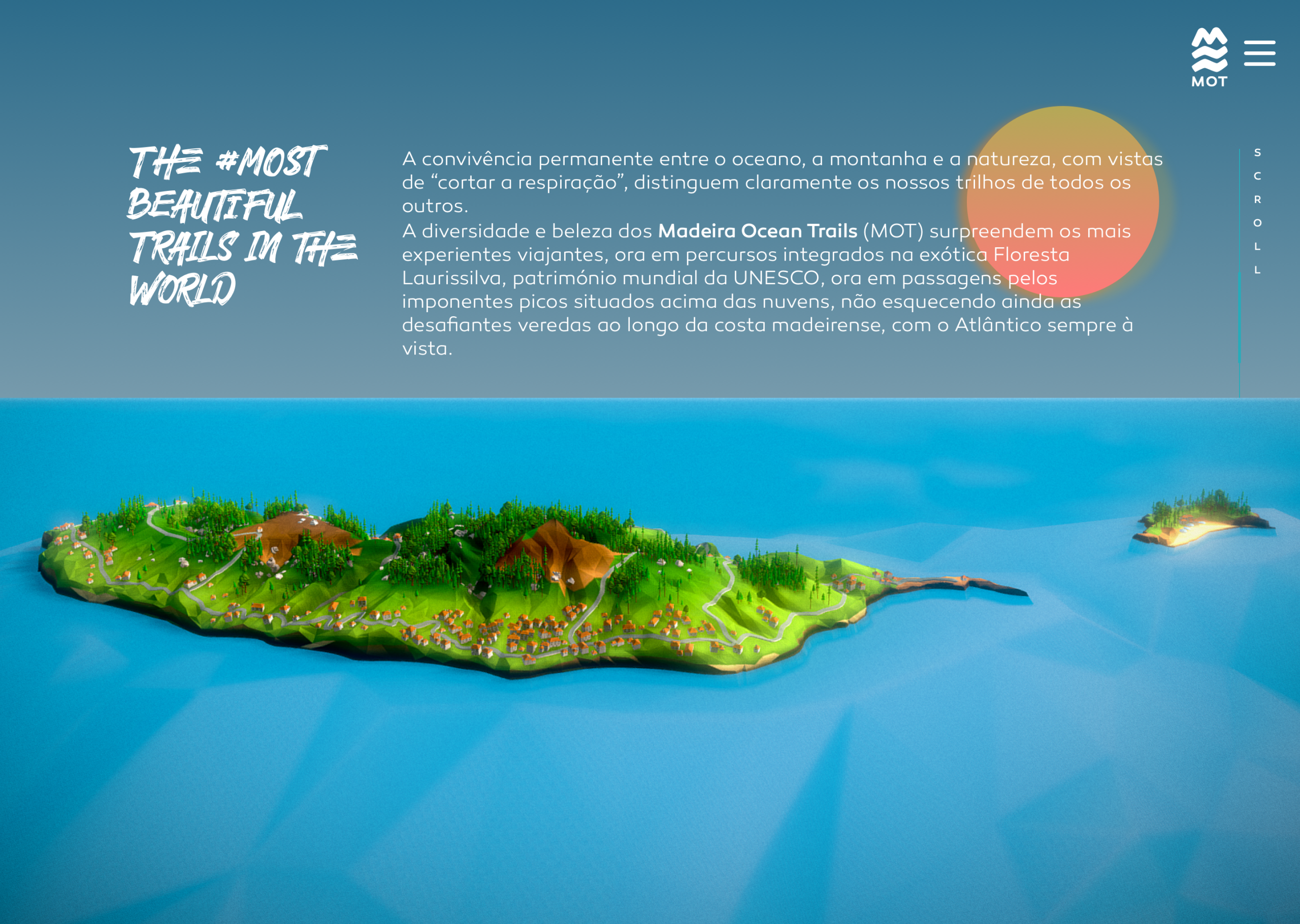
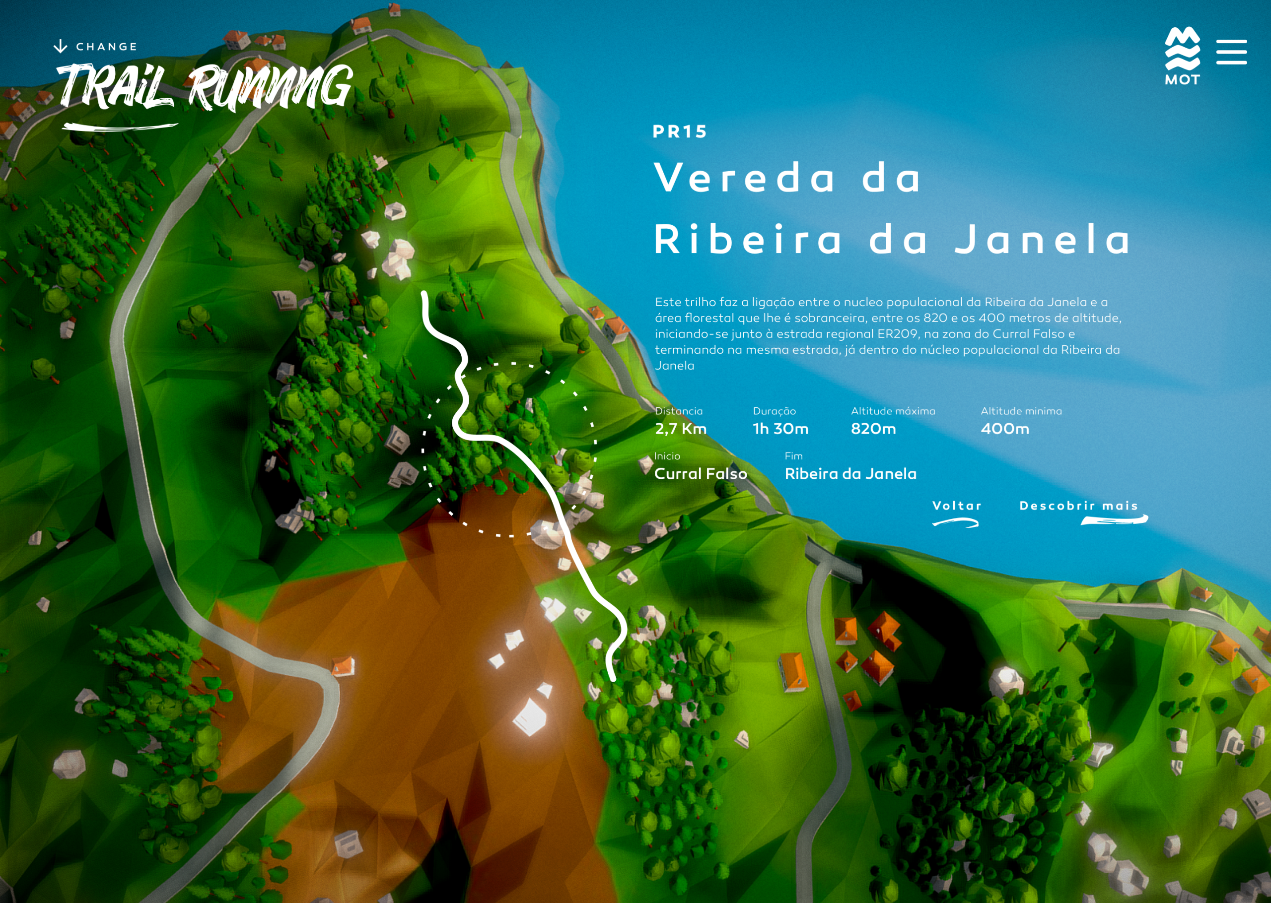
Back in 2020 we launched this website allowing users to explore 80 plus trails in the island of Madeira and Porto Santo. Interactively discovery data such as elevation, traffic and real time weather data that would also work offline allowing users to take this web app with them with valuable information on how to tackle the various trails.
Build natively with three.js and optimised for mobile and desktop, the two main islands were created using real world terrain data from GIS and 3d mapping allowing an high fidelity scale. All trails also featured GIS data alongside a stylised 3d model that would depict what sort of featured one would find in that particular trail, coupled with narrative driven information, videos and photography.